27 September 2006
Our geology walks are always popular, and despite the drizzly weather 21 members joined our leader John Baker for a most interesting stroll around the village of Adderbury, just south of Banbury. We had come to learn about the distinctive “gingerbread” stone that gives this part of north Oxfordshire its character.
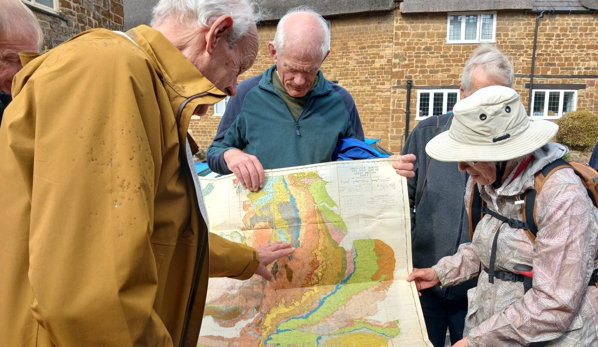
John produced his geological map to show us the distribution of the underlying marlstone, and explained how it would have been formed in the Lower Jurassic period, around 190 million years ago. Marlstone is a hard iron-rich limestone, and gets its distinctive warm brown colour from the iron-based minerals rusting. It weathers to a rich agricultural soil and the early prosperity of Adderbury was based on wheat and wool production.
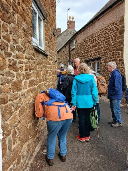
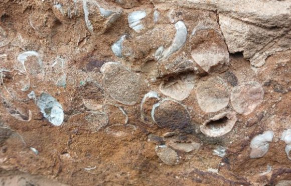
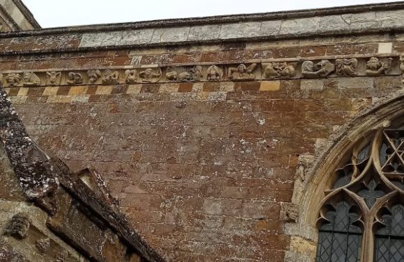
Marlstone often contains clusters of fossils, such as brachiopods, a type of extinct shellfish. Some layers of the rock are free stones which can be cleanly cut in three directions, and this can be seen in some of the fine old buildings in the village, including the church of St Mary the Virgin with its splendid carvings. Other buildings are made of more irregular stones.
With the arrival of the Oxford canal at the end of the 18th century and the railway in 1887, a flourishing open-cast iron ore extraction industry was established in the area which produced over 10,000 tons of iron ore a year at its peak. The last local ironstone company closed in 1901.
After a walk around the village, pausing from time to time to look at the stone used in the cottage walls and admire the church, we crossed the Sor Brook and looped around through pleasant rolling countryside to return to the start.
Many thanks to John for this most informative walk. We all came away having learnt something new.
Sue Morton

